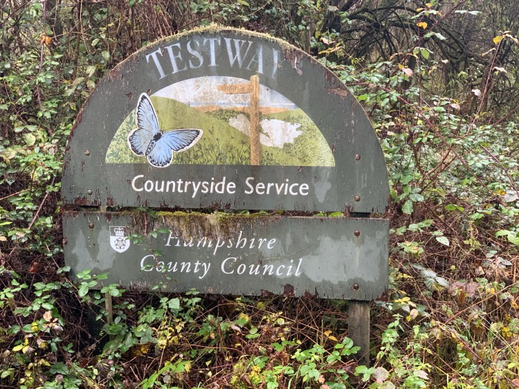
One of the things I love about Houghton is you’re just a few minutes away from the Test Way. According to wikipedia, The Test Way is a 44 miles (71 km)[1] long-distance footpath in England from Walbury Hill in West Berkshire to Eling in Hampshire, which follows much of the course of the River Test.
The northern end of the footpath starts in the car park on Walbury Hill. It passes through the towns of Romsey and Totton and the villages of Linkenholt, Ibthorpe, Hurstbourne Tarrant, St Mary Bourne, Longparish, Forton, Wherwell, Chilbolton, Stockbridge, Horsebridge and Mottisfont. The southern end of the footpath is at Eling Quay.
The trail also passes alongside Horsebridge railway station. Much of the route between Kimbridge and Chilbolton follows the route of the former Andover and Redbridge Railway.
The entire route is waymarked by metal and plastic disks found attached to wooden and metal posts, trees and street furniture. There are several wooden ‘finger’ signs along the route that countdown the number of miles along the footpath in both directions.
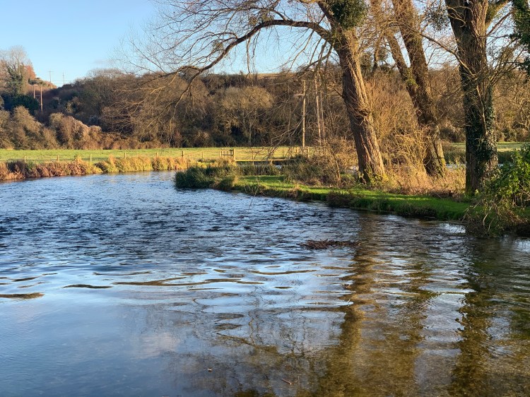
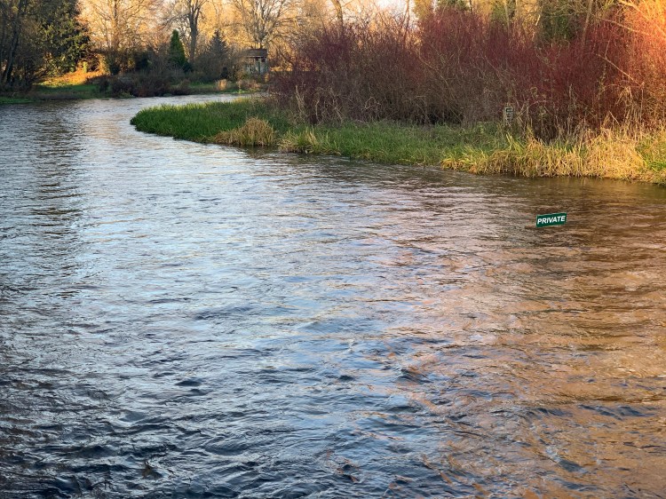
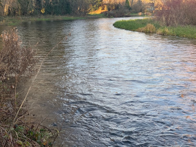
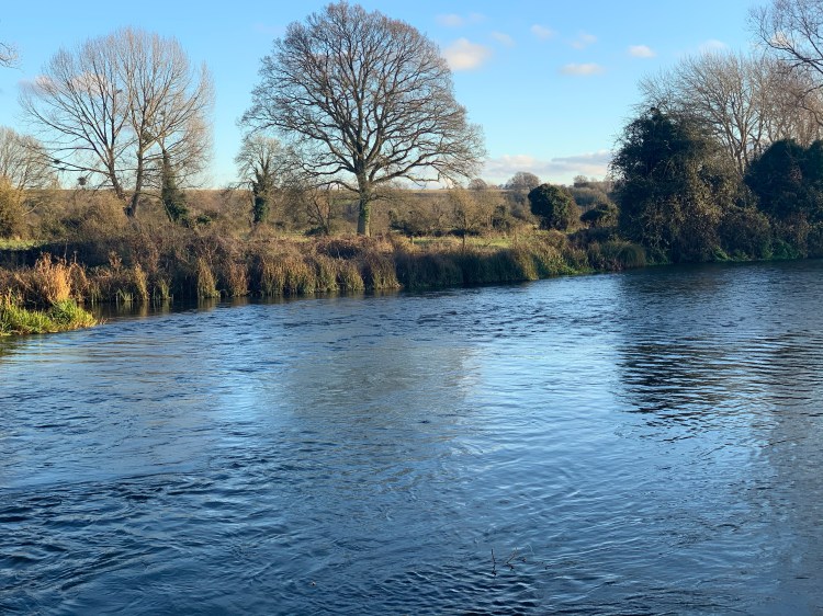
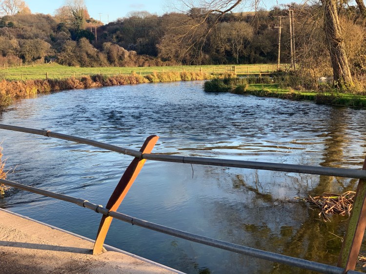
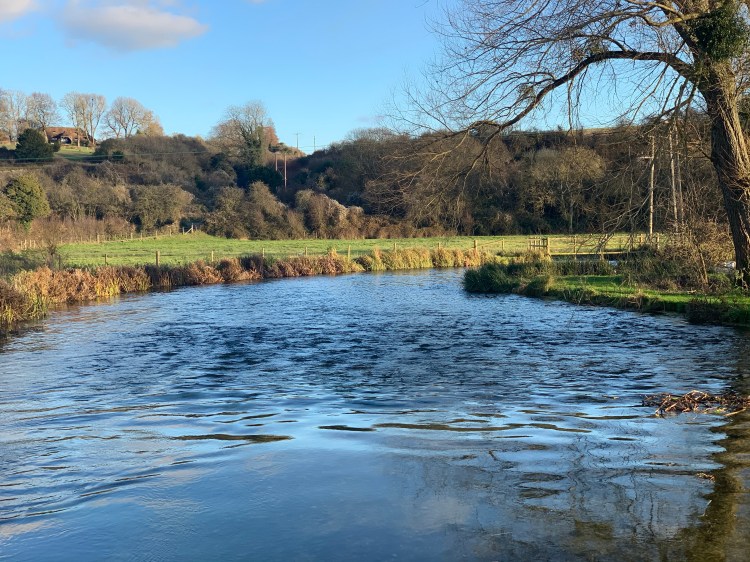
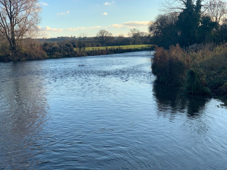
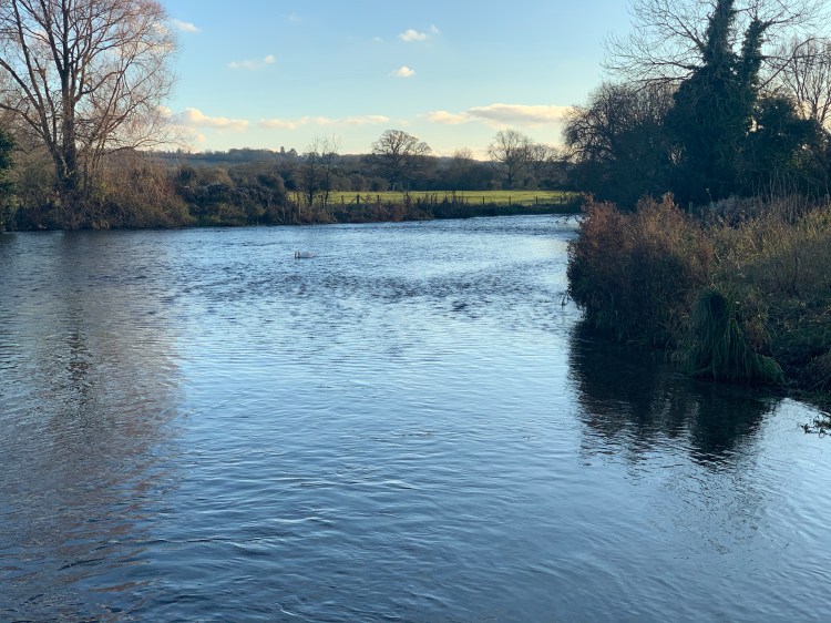
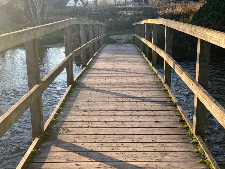
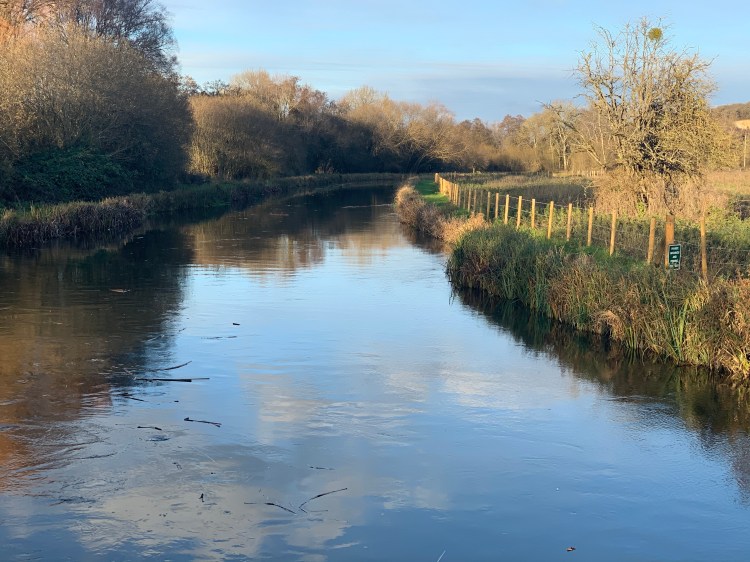
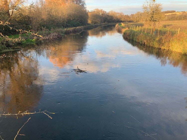
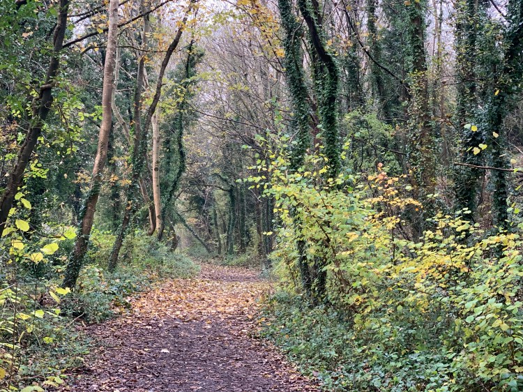
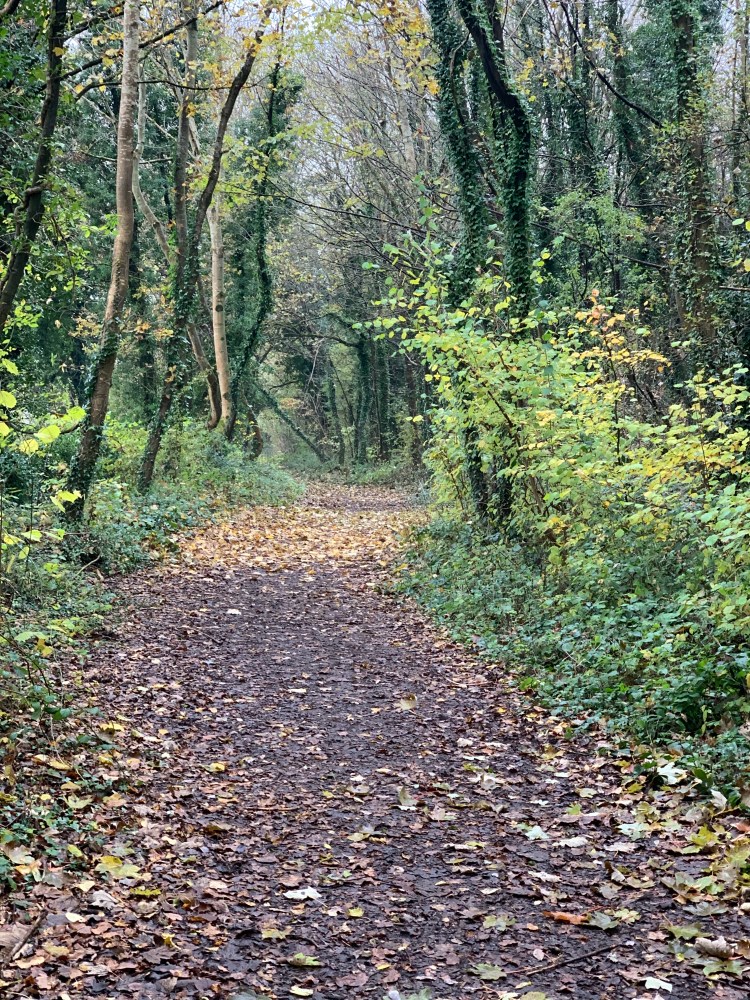
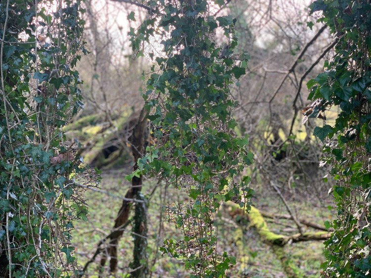
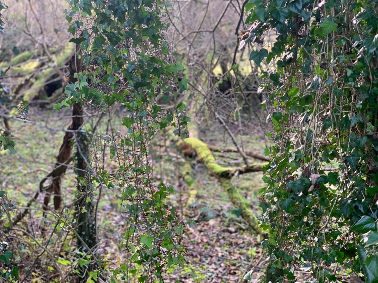
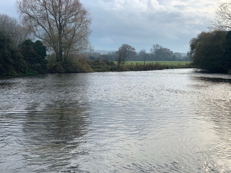
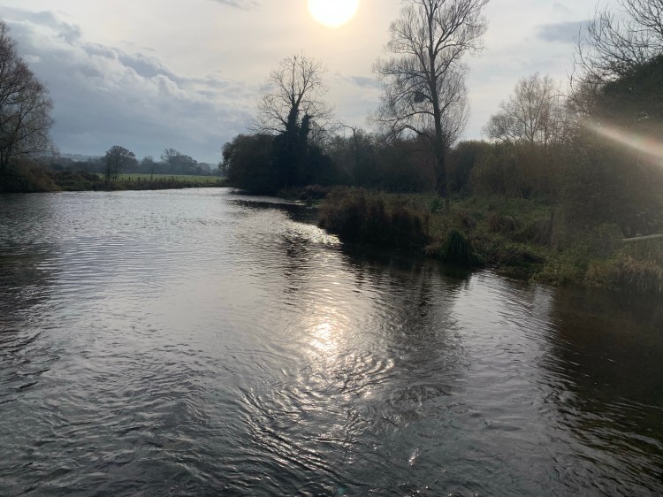
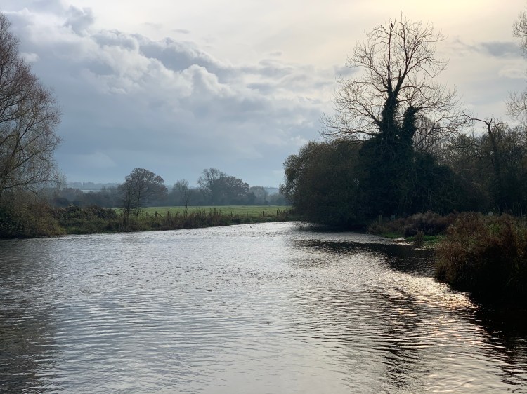
I walk the Test Way three or four times a week and always take photos on those walks. I really love it as you rarely bump into anyone and you’re walking with tree cover.
Here are some of my favourite shots from the last few weeks.

One thought on “Walking the Test Way”